
Franklin ZIP Code Directory Coverage
The documented Franklin postal grouping has five ZIP codes: 37064, 37065, 37067, 37068, and 37069. Their descriptions are routing clues, not surveyed city neighborhoods. USPS is the current authority for a deliverable address and ZIP+4. The table intentionally retains the limits in the official research instead of assigning local subdivisions to a ZIP without postal confirmation.
| ZIP | Areas Covered | Post Office | Notes |
|---|---|---|---|
| 37064 | Core Franklin postal routing; central mailing addresses may use it | Franklin, Tennessee postal routing | Do not equate every delivery address with a city-limit parcel |
| 37065 | Franklin postal grouping; limited or PO Box use reported | Franklin, Tennessee | Test the address and ZIP+4 through USPS |
| 37067 | Franklin grouping and routing-change material | Franklin, Tennessee postal routing | Official neighborhood and municipal bounds were not located |
| 37068 | Franklin grouping; limited, PO Box, or special-use scope possible | Franklin, Tennessee | Do not label it a physical neighborhood without address confirmation |
| 37069 | Franklin grouping and routing history | Franklin, Tennessee postal routing | Exact neighborhood and city-limit bounds were not located |
Postal material groups these codes with Franklin, but the station split for each was not located in the official source set. A historical letter, deed, or directory should keep the ZIP printed on it and its date. Do not silently replace an older postal label with a current one.
ZIP 37064 is a routing label, not a city polygon. The same warning applies to the other four codes. A postal address can be useful for mail delivery while the actual parcel is outside the incorporated city, in an Urban Growth Boundary area, or in another county map district. Franklin ZIP code directory work stays accurate when the postal question is kept separate from the property and government-geography questions.
Check a Franklin ZIP Code First
The USPS ZIP Code Lookup is the tie-breaker for a specific deliverable address. Select the appropriate address or city-and-state mode, then preserve the standardized street spelling, unit treatment, ZIP, ZIP+4, delivery result, and lookup date. A ZIP-only result does not prove municipal residence. It merely describes a postal route at the detail USPS returns for the query.
- Enter the complete street number, street name, city, and state when those details are known.
- Record the USPS-standardized address, ZIP, ZIP+4, and any apartment or unit normalization.
- Compare the result with the assessor's situs and mailing fields, which may answer a different question.
- When geography matters, inspect the city limit, Urban Growth Boundary, and parcel geometry separately.
The official lookup interface is the place to document an address-level postal answer.
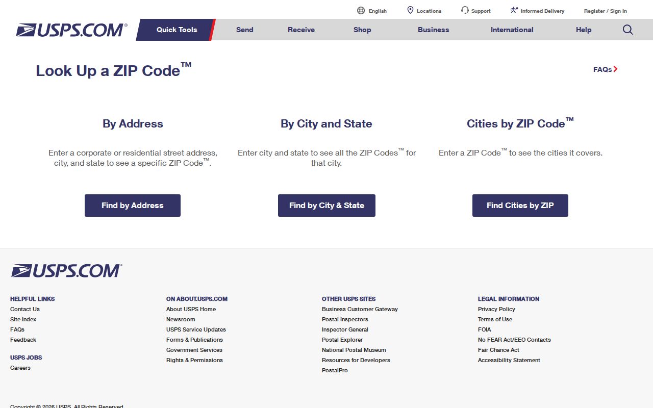
Keep this result with the date checked, because a current delivery line can differ from an older record's postal notation.
For a local post-office or customer-service question, use the official USPS channel rather than a third-party ZIP list. For a public local map or address dataset, direct a specific request to the city or county custodian. The documented route distinguishes address-specific delivery help from city GIS staff help and from an archival question about an older correspondence address.
Franklin ZIP Code Map Layers
A Franklin postal city can lie outside the municipal polygon. A parcel within the city can use a mailing label or ZIP tied to another routing area. The City of Franklin GIS distinguishes City Limits, the Urban Growth Boundary, parcels, addresses, streets, buildings, wards, waterways, and zoning. Williamson County maps add civil, voting, zoning, and traffic-shed layers. None turns a ZIP into a legal boundary.
- ZIP and ZIP+4
- A ZIP identifies a postal routing area. ZIP+4 narrows delivery for the exact standardized address.
- PO Box ZIP
- A ZIP that may identify a postal facility or box service rather than a physical residence.
- Carrier route
- A delivery route used by the Postal Service. It is not a neighborhood or municipal district.
- Situs address
- The physical location of land or an improvement, distinct from a tax mailing address.
Note: Treat postal, assessor, and GIS results as separate dated statements, then state which system answers the question at hand.
The CommunityMap service includes parcels, addresses, streets, buildings, city limits, the Urban Growth Boundary, railroads, waterways, parks, and Williamson County. Use its parcel geometry to understand position, not to assign an unofficial ZIP boundary. A source that calls an address “Franklin” can be postal, municipal, or county-seat language, and the map layer plus date identifies which meaning is being used.
Franklin ZIP Searches and Parcels
The visible Williamson County Property Search does not publish a ZIP filter. Its documented filters are owner, address, subdivision, city, lot, map, parcel, and sale date. Search the standardized street address from USPS instead of assuming a ZIP produces a property list. The result can identify assessed owner, situs, mailing address, parcel, and sale clues, but it does not identify every occupant.
| Layer or field | Use for a Franklin ZIP code question |
|---|---|
| USPS address result | Current delivery line, ZIP, ZIP+4, and standardized spelling |
| Assessor address or city | Parcel, situs, mailing, owner, and sale clues |
| GIS parcel geometry | City limits, UGB, street, parcel, ward, and map context |
| County maps | Governmental districts, not postal routing |
Once a ZIP check narrows an address, the Franklin street directory has the fuller address-to-parcel record trail. It is the appropriate next step for a dated deed or a street-level location question.
Property data also separates the physical situs from the tax mailing destination. A mailing address can show where correspondence is sent; it does not establish that the mail recipient occupies the parcel. Similarly, a deed uses legal descriptions, lots, blocks, book and page references, or metes-and-bounds calls rather than a universal ZIP key. Preserve the parcel identifier and the source system whenever postal and ownership records are compared.
Franklin ZIP Code Development Clues
ZIP codes are not resident rolls, but city records can add dated context to an address after the postal location is confirmed. The Franklin Citizen Portal offers Building, Licenses, and Fire searches. Anonymous access is limited, and an account is needed for full service. Development reports can also describe work type, occupancy, units, valuation, and related mapping, without implying that an applicant is a resident.
The city portal shows the permit and application categories available after an address or project clue is known.
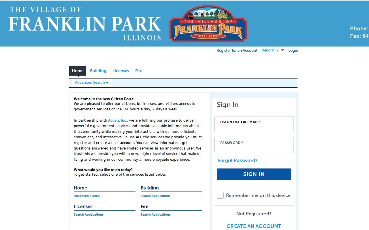
Use a permit result as a dated project lead, then compare it with the parcel and map layers rather than treating it as a household list.
Keep Historical Franklin ZIP Codes
Franklin has grown and postal routing has changed. A historic rural route, post-office label, or ZIP on correspondence may not match a current map label. Preserve what the original source prints, including date, addressee, and city line. The City GIS can help reconcile a modern parcel or street, while deeds, plats, and the Williamson County Archives can test whether an older address refers to the same property. Report a modern crosswalk as an interpretation, not as a silent replacement.
WCPL Special Collections and the Williamson County Archives provide the fallback chain when a modern ZIP search cannot resolve an old address. The library holds city directories, newspapers, and microfilm. The Archives index points to bound books, loose files, and reels. Staff follow-up can confirm the original location language without forcing it into a current postal area.
The historic search may also need the original owner's name, adjoining owners, subdivision, road name, or legal description. Deeds and plats can link an old description to a current parcel, while a dated newspaper or directory provides the human-readable location. Keep any crosswalk tentative until the parcel geometry and record references support it.
Franklin ZIP Code Access Routes
Use USPS online first for delivery, then the local channels suited to the next question. City GIS staff can address map-layer questions at 615-550-6981. The Assessor, city Planning, and county map offices handle their own current records. A Tennessee Public Records Act request should name the public map or address data wanted from the correct local custodian, not seek Postal Service delivery files. For historic labels, the library and Archives provide dated source material rather than a current routing assumption.
A city limit, a county district, and a USPS ZIP should remain separate in notes. This is especially important when a Franklin mailing address appears in an unincorporated pocket or an urban-growth area. Retain the source URL, layer or lookup mode, exact address queried, and the date for each layer.
The access routes are complementary. USPS confirms mail delivery. The city GIS and county maps explain geographic layers. The assessor supplies an address- and parcel-based property record. Library and Archives collections preserve historical labels. An inspection or copy request under the Tennessee Public Records Act should be narrow enough for the named office to identify the map, permit, or address dataset sought, and it may be subject to the office's current policies and charges.
Franklin ZIP Code Boundary Caution
Postal geography is useful, but it has limits. A ZIP does not establish a city boundary, parcel ownership, current occupancy, neighborhood membership, or a governmental district. The research also did not locate official neighborhood boundaries for 37067 or 37069, exact station assignments, or a complete parcel-number decoding guide. Leaving those gaps visible is more accurate than creating a neat but unsupported map.
Practical check. Save USPS as the delivery authority, the assessor as the parcel record, and GIS as the geographic layer. When they differ, report each result and its date.
For a Franklin ZIP code directory result, the most useful final note names the address query, USPS return, parcel identifier if relevant, GIS layer checked, and date. That concise trail lets another reader repeat the check without turning a postal label into an unsupported claim about a neighborhood or person.